The joy of towpath gravel
With no proper infrastructure or access rights in England, I have to get creative when planning traffic-free rides.

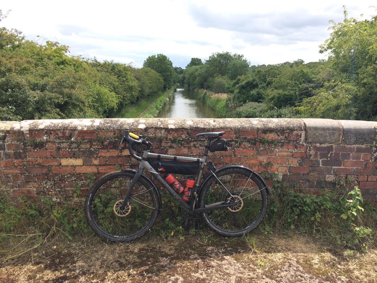
Some of my favourite routes make use of canal towpaths. These off-road arteries can take you some seriously long distances and right into the centre of busy towns and cities by the back door.
The Kennet and Avon Canal has helped me access the Ridgeway largely off-road, the Caledonian gave us a fabulous family ride through the Highlands, and the Forth and Clyde took me to marvel at the engineering of the Falkirk Wheel. I regularly find myself riding the towpath of the Worcester and Birmingham canal, using it to escape the web of busy roads that surrounds the towns along its route. And there are plenty more towpaths on my wish list – including a trans-Pennine trip on the Leeds and Liverpool Canal.
Legalities
All these routes, and more, are perfectly legal to cycle. Basically, if the Canal and River Trust owns it then I can cycle on it. Towpaths are permissive paths, and the Trust gives everyone permission to ride them. You might hear talk of permits, but those days are long gone – you just need to be considerate of other users.
What about rivers? That’s where things get frustrating; they don’t have a network of permissive towpaths. So unless I can find a bridleway alongside a river, I’m out of luck. This can be particularly annoying at the point where a canal enters a river and the towpath comes to an abrupt end or turns into a footpath. Another example showing why our access laws need reforming.
Practicalities
Despite that frustration, the 2,000 or so miles of Canal and River Trust waterways offer plenty of towpaths I can ride. They’re pretty flat, of course, which means they’re often thought of as ‘worst of all worlds’ – too difficult for road biking and too boring for mountain biking. I tend to think of them as ideal for my gravel bike. I’d argue that if you’re into exploring or touring off-road, you enjoy a riding at a relaxed pace and you have a bike with chunkier tyres, then towpaths are for you.
While the shared nature of the path means I have to take care, give way and can’t hurtle along flat out, I’ve made good progress along many miles of towpath without encountering anyone else. Time and place are key. If I choose a weekend morning on a section of towpath within easy of reach of town I’ll be weaving my way slowly between anglers for mile after mile. If I pick a remote stretch on a Tuesday afternoon I’ll have the path to myself.
Logistics
When it comes to the logistics of a ride – like getting to the start, finding food and water – canals are a good option. They often run along the same transport corridors as the railways that were built after them, so the train can be a good option for getting to the start of a ride. For my ride on the Ridgeway this year, I caught the train to Bradford on Avon and rode the canal as far as Devizes before heading cross-country to the Ridgeway.
What about re-supply? There may not be shops along a canal but you won’t usually have to go far to find them. And there are a quite a few canal-side pubs as well as the occasional cafe. As for more basic needs, zoom in on the Canal and River Trust map and you’ll see toilets and taps marked. I bought myself a key from the Trust shop (£7) so I can access the facilities.
Route planning
I find that the Trust map is a good starting place for planning a route and that Canal Plan is also worth a look, as it offers a quick way to get the distance between two points on the canal network. Its GPX tracks don’t seem to plot an accurate enough course for cycling, though – for that I use OS Maps.
Towpaths are marked by a continuous black line on 1:25,000 OS maps and a dashed black line on 1:50,000 maps. Then there are the parallel dashes that mark tunnels and mean I’ll probably have to find a route that diverts around them. Sometimes the towpath diverts too and I can simply follow that, at other times I find myself weaving through back lanes or housing estates while canal boats chug along somewhere deep beneath my wheels.
Plotting a route point by point on the OS Maps website can be a bit tedious. But I haven’t found an alternative that provides the same accuracy, given that other route planners – such as my favourite for road-based adventures, cycle.travel – seem reluctant to route you along towpaths unless the paths are part of a local or national network. Besides, I love staring at OS Maps almost as much as I love cycling.
But as with most routes, it’s impossible to tell whether a towpath is any good until you’ve ridden it. So enough of this waffle, I’m off out to explore a few more miles of underrated gravel.