Finding peace in the Galloway Forest Park
We left fears, anxieties, work and chores far behind for a week exploring the forest around Glentrool.

Peace doesn’t always come easily to me, but it comes best when I’m exploring new places on foot or by bike. Our return to Glentrool was a chance to leave stresses behind and be present in the moment, absorbed for a week in this dark-skied forest.
Fortunately, riding bikes as a family leaves little headspace for worrying about anything else. Routes need to be planned, bikes need to be prepped and – when the temperature drops and the clouds open, as they did on our first ride of the holiday – spirits need to be lifted.
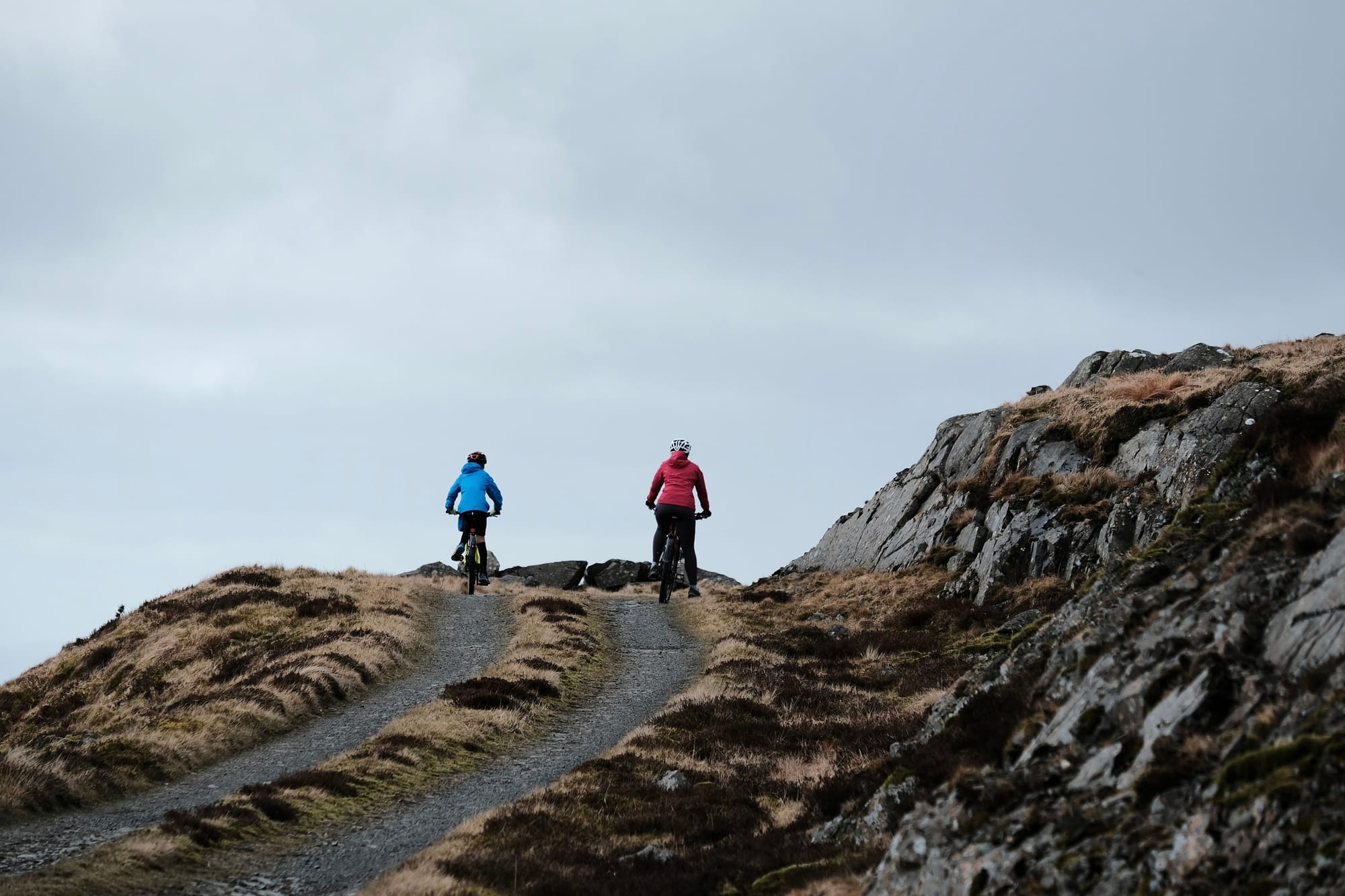
We’d decided to ride up Bennan, a peak in the shadow of the Merrick, notable for the radio mast at its summit. Galloway Forest Park was created in 1947 and the mast was built by the early foresters so teams could communicate across the vast areas they were working.
An old guidebook I found said they were planting around five million trees every year at that time, with new technology and machinery speeding up the process. But haste to adopt new approaches can have unintended consequences; it’s now known that monocultures of closely planted non-native trees do little to support biodiversity. They are, in short, a bad idea.
Gradually, the trees planted throughout the 50s and 60s are being felled and replaced with a more diverse crop. Because, in this working landscape, trees still are a crop. This is not rewilding, but instead an attempt for forestry and nature to better coexist. As we pedalled our way up the forest roads towards the slopes of Bennan, we could see this next phase of the forest in progress – with mixed woodland regenerating among the felled trees.

As we climbed, the skies darkened and the strengthening breeze brought a rain shower over. We carried on for a while, hoping it would ease. It didn't. So before pushing on to the bare summit we paused to shelter in a belt of trees and put on our waterproofs. The final stretches of the track were brutal and exposed, the Merrick looming behind us and, in front, the lowlands stretching out towards the coast.
This wasn’t a day for lingering to take in the view: a few photos, a quick snack sheltering behind a rocky outcrop and we were off, descending back the way we’d come. The route down was cold (our fingers numbing on the bars) but it was quick and we were soon back at the visitors’ centre and then making our way back along the path to our rented cottage in the village.
At home, after a change of clothes and a hot chocolate, we travelled again – but this time without leaving the comfort of a warm and dry house. We spent a cosy hour searching the map for this landscape’s wonderful names. Jotting them down in a notebook, they formed a kind of list poem:
Nick of the Dungeon
Point of the Snibe
Clints of the Buss
Rig of the Jarkness
Fang of the Merrick
Bog of the Gairy
Howe of the Caldron
Neive of the Spit
Scars of the Benyellany
Rig of the Gloon
Braes of Mullachgenny
Lump of the Eglin
Nick of the Ballock
Broads of the Merrick
My favourite, though, stood apart: The Range of the Awful Hand. The reason for the name, the old guidebook told me, was apparent when looking south-eastward from the head of the Nick of the Balloch. From there, the four highest peaks appear to assume the outline of an outstretched hand. We wouldn’t be walking that far this week, but after immersing ourselves in the map we felt like going outside again.
So, in the afternoon, we walked down to the Water of Trool as far as the footbridge and stood for a while, letting white noise and white water wash ordinary life away. Stare at a boiling river for long enough and it's almost impossible for your mind to be anywhere other than in that moment – fears, anxieties, work and chores are all swept downstream.
And that’s where they would stay for the rest of the week as we walked and rode around the forest.

